Map of Ile de France
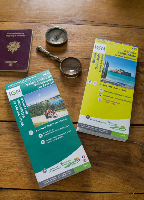
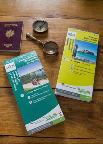
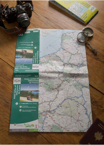
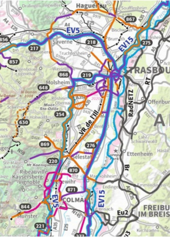
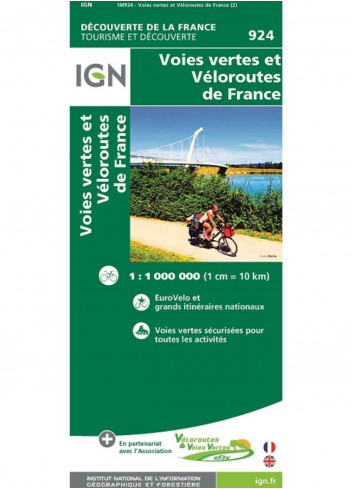
This map, shows you all the greenways and cycle routes in France. It allows you to prepare your future adventures and expeditions by bike thanks to numerous information on the routes. The road network is also represented.
-
Size: 25 x 11 cm
Map of France
An easy-to-understand map with routes classified by department, difficulty, distance and duration, which will make you discover the Ile-de-France as you have never seen it before.The map also offers a range of practical information to help you find your way around the region. The map also offers various practical information to adopt the right reflexes when cycling.
-
110 routes : cycle touring and mountain biking
-
More than 5,600 km of routes to ride
-
Practical information
-
Size: 19.0 x 9.6 cm
Alsatian cycling map
Discover Alsace as you've never seen it before thanks to more than 120 itineraries that will allow you to cover thousands of kilometers of routes! Easy to use whether you are a beginner or a novice thanks to the routes classified by department, difficulty, distance and duration. This map also tells you how to prepare your activities on 2 wheels, with many help and good plans.
-
More than 120 routes
-
Zoom on Mulhouse
-
Size: 24 x 11 cm (folded), 120 x 96 (unfolded)
Morbihan cycling map
This map combines the advantages of a guidebook, offering good tips, ideas for rides, or even routes classified by difficulty to help you discover Morbihan. The hundreds of kilometres of routes to cover will delight all cycling enthusiasts.
Size : 23 x 11 cm (folded), 120 x 96 (unfolded)
Be the first to ask a question about this product!
